
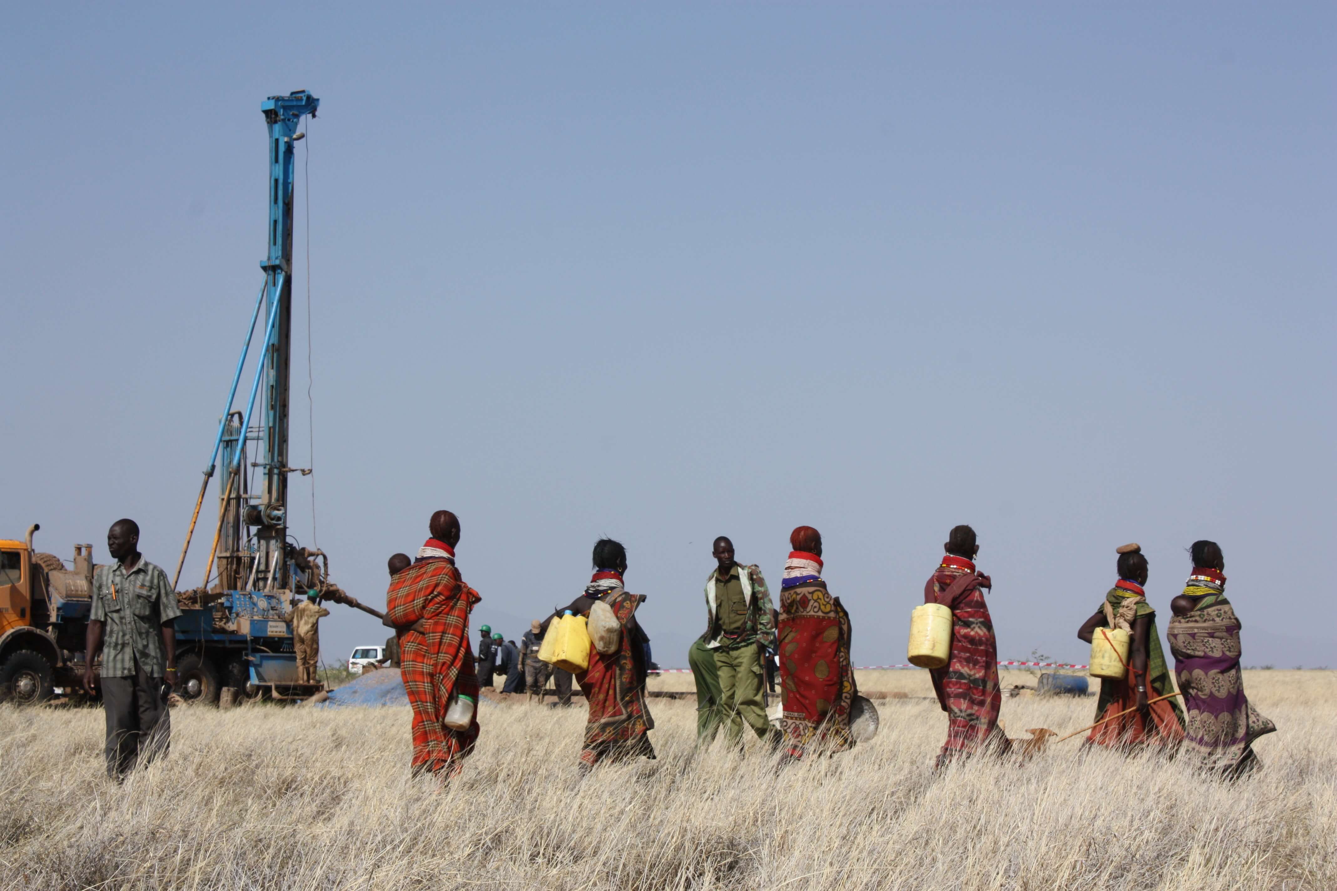

Using topographical data from NASA, a geologist and resource hunter developed software that can locate underground water. His company helps refugees by finding water sources in drought-stricken regions such as Kenya, Sudan and Afghanistan. A historic discovery in 2013 revealed 66 trillion gallons of water deep beneath the surface of Turkana County in northwest Kenya, giving one of the driest, most destitute regions of the world access to reserves that may last for generations.
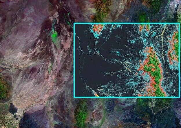
The Landsat series of satellites, built by NASA and operated by the U.S. Geological Survey, have provided scientists with the richest trove of data showing how Earth's surface has changed over time. The images and data acquired from the satellites have improved everything from crop yield predictions to the maps used by Google Earth and GPS navigators.
Learn more about how NASA helped develop technology that impacts water discovery within your city's public safety environment!