
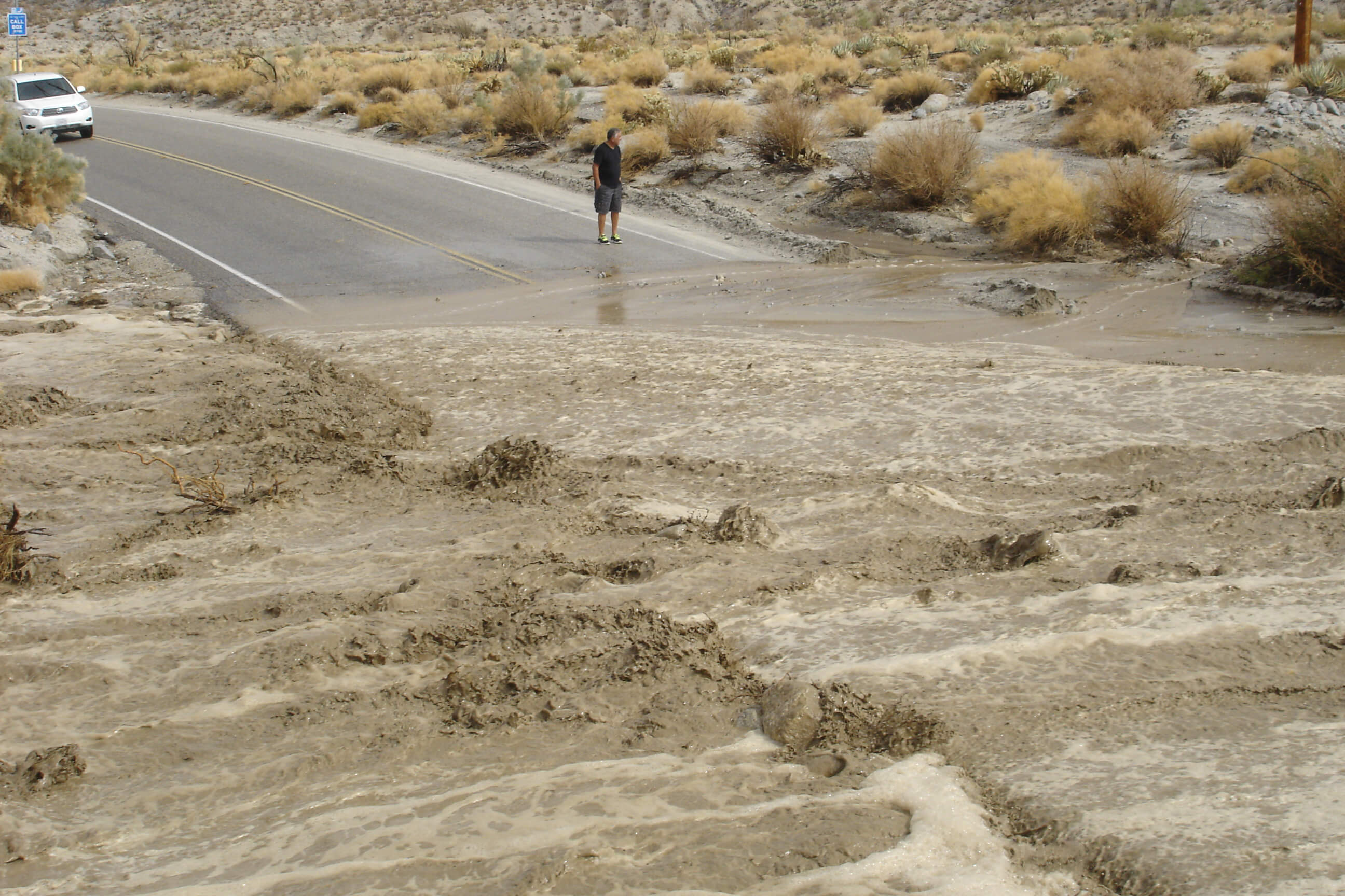


The monsoons that dump torrential rains on Southern California every summer can be deadly. To improve monsoon predictions, NASA partnered with the National Oceanic and Atmospheric Administration to outfit dozens of GPS stations in the region with sensors that transmit moisture data every 30 minutes and have greatly improved weather forecasters' ability to decide when to issue flash flood warnings.
Properly outfitted, a GPS ground station can calculate moisture in the air through the difference in delay between two different frequencies in the signal from GPS satellites. In a four-year project, NASA's Earth Science Technology Office partnered with the National Oceanic and Atmospheric Administration (NOAA) to enable a network of such stations in Southern California, where at least two of NOAA's Weather Forecast Offices are using them to predict dangerous summertime monsoons.
Learn more about how NASA helped develop technology that impacts flash flood warnings within your city's public safety environment!