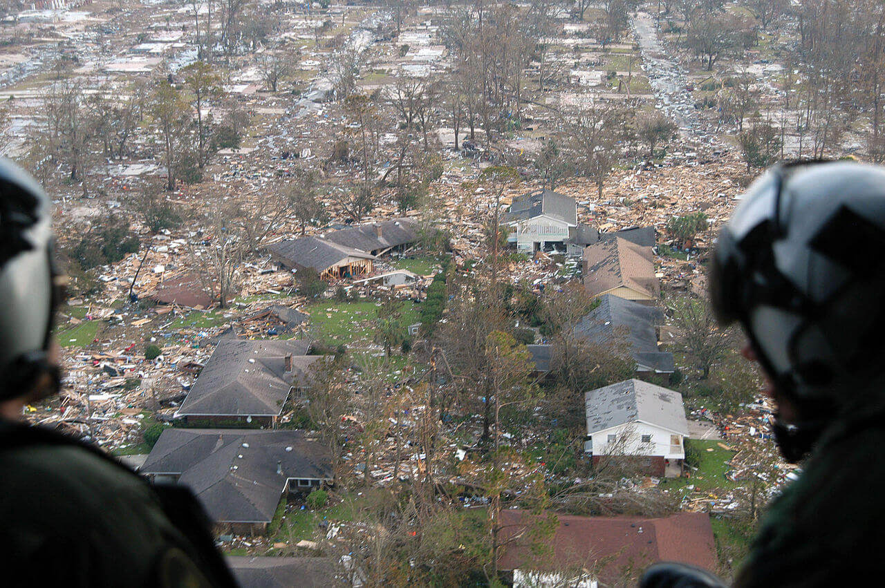
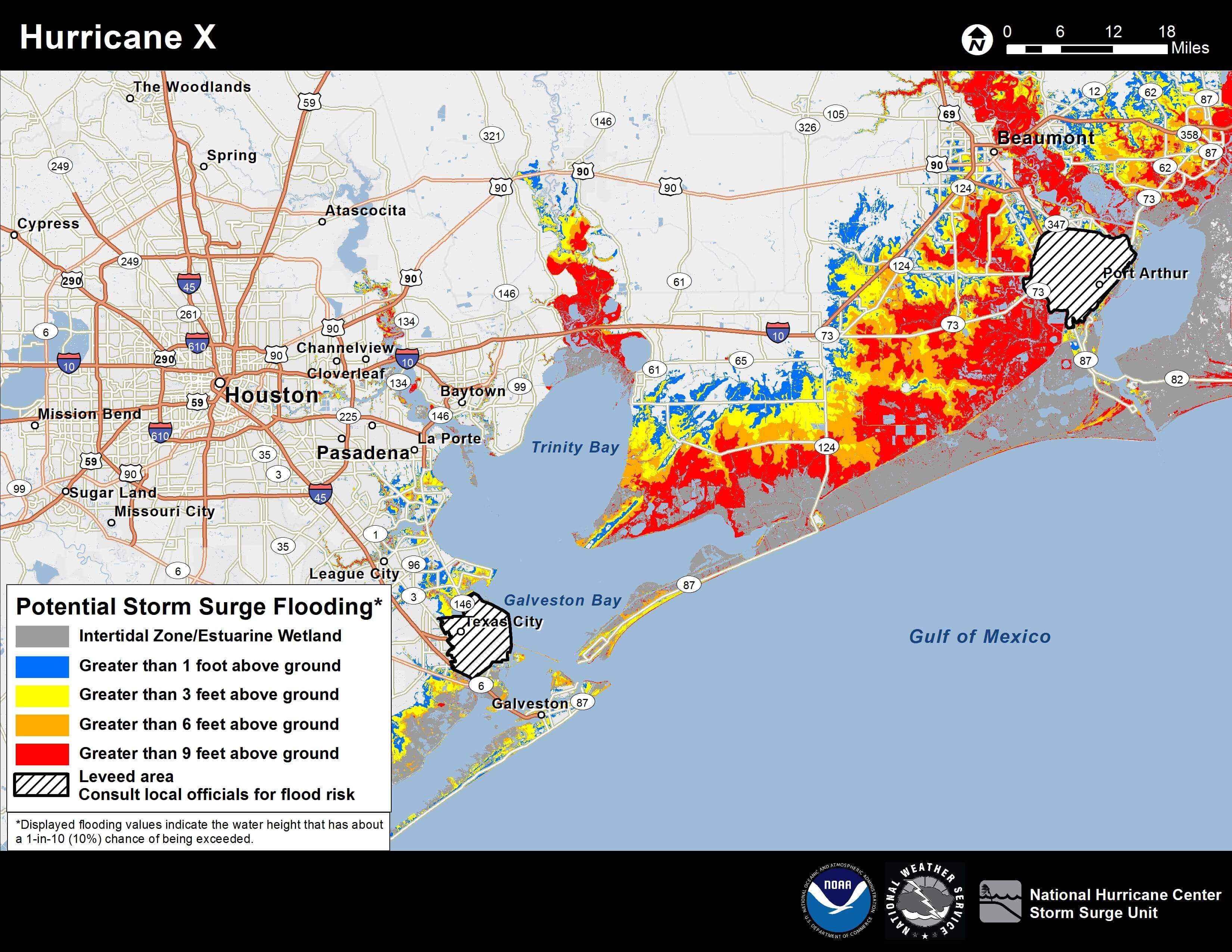
NASA partnered with a company to enhance existing software with detailed topographical data to predict coastal flood levels under various storm conditions. The partnership also enabled the program to use wind data to recreate flood levels after a storm has passed. This helps insurance companies determine how much storm damage was caused by water and how much by wind.
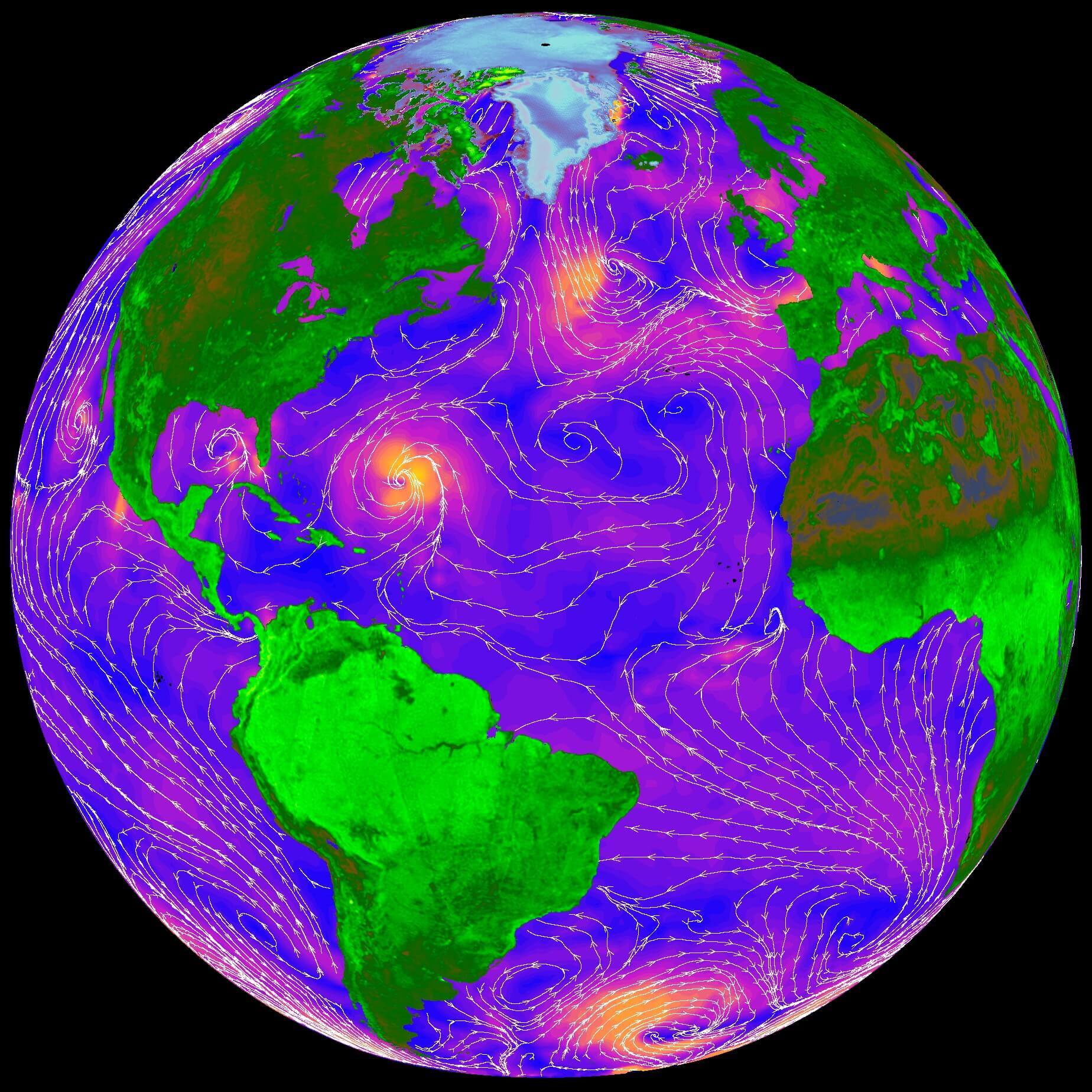
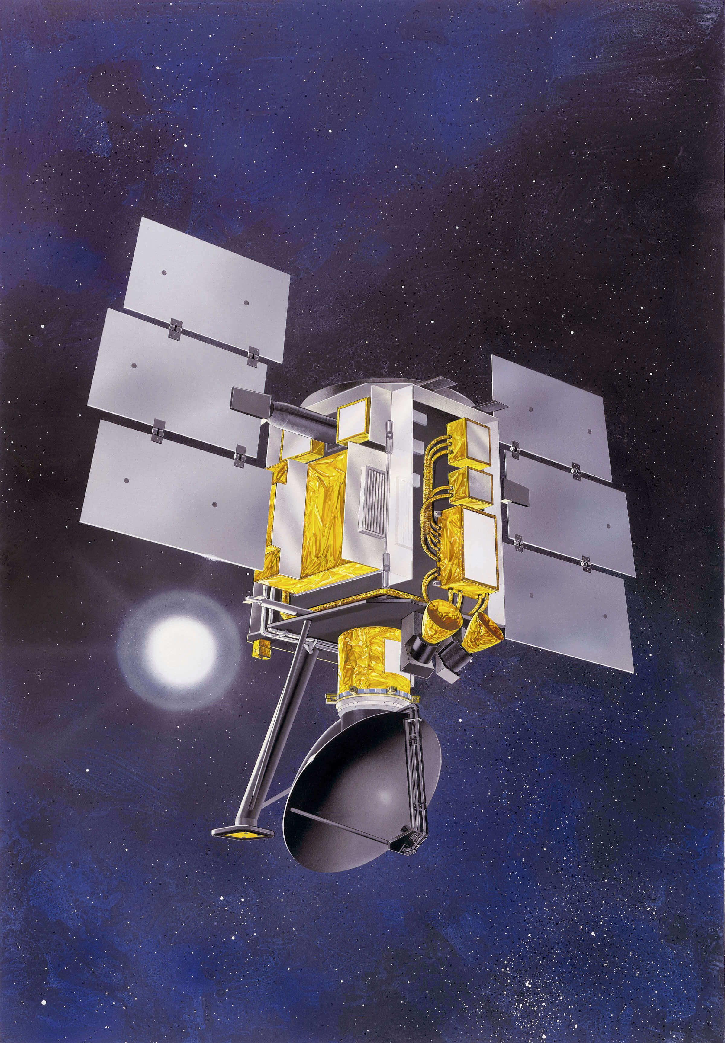
In addition to funding, the company that developed this software for predicting and recreating flood levels benefited from data gathered by several NASA missions, especially the Quick Scatterometer (QuickSCAT) and the Shuttle Radar Topography Mission (SRTM). QuickSCAT monitored winds over the planet's oceans, while SRTM created the world’s first near-global topographical map of Earth, detailing close to 80 percent of its land surface.
Learn more about how NASA helped develop technology that impacts flood prediction and hindcasting within your city's coastal environment!